
Natural Gas Emissions: Measure Top-down or Bottom-up?
Study reconciles persistent gap in natural gas methane emissions measurements
A new study published in Proceedings of the National Academy of Sciences showed how much total methane, a greenhouse gas, is being emitted from natural gas operations across the United States, as well as why different estimation methods—applied in prior research in various U.S. oil and gas basins—seemed to disagree.
The research team included NREL’s Garvin Heath, a member of the Technology Systems & Impacts Analysis Group in NREL’s Strategic Energy Analysis Center.
The researchers investigated the persistent gap between two widely used methods of estimating methane emissions from natural gas operations. "Bottom-up" estimates measure emissions from a representative sample of devices. In contrast, "top-down" measurements can be performed at a regional scale, such as flying an aircraft upwind and downwind of a study area. Researchers found that some large, episodic releases of methane occur mostly during daytime-only maintenance operations, systematically at the same time that a research aircraft would be conducting measurements. This may help explain why estimates from aircraft measurements have previously been higher than estimates based on annual bottom-up inventories.
In this study, for the first time, the researchers showed that the east-to-west variation of methane emissions across the basin, derived from aircraft measurements, were reproduced by the bottom-up emissions model developed by the research team. This suggests that a more robust study protocol such as used in this study can lead to accurate emission estimates whether one uses the bottom-up or top-down approach.
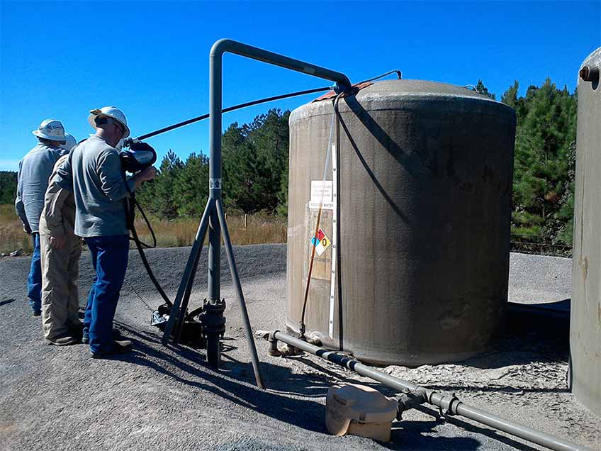
Researchers taking part in the Basin Methane Reconciliation Study.
The study resulted from a large, month-long field campaign called the Basin Methane Reconciliation Study, in the Fayetteville shale gas play of Arkansas' Arkoma Basin. More than 60 researchers—including scientists from Colorado State University, Colorado School of Mines, University of Colorado Boulder, and the National Oceanic and Atmospheric Administration—made coordinated facility- and device-level measurements of key natural gas emissions sources. The campaign also included a series of aircraft flyovers to collect measurements during the same period when researchers were taking measurements on the ground.
Other scientific partners were University of Wyoming, Aerodyne, AECOM, Scientific Aviation and GHD. Working with industry technical experts gave the study team invaluable, full site access for bottom-up measurements and hourly and spatially resolved operational data. The data improved the understanding of the magnitude and timing of emissions, particularly for episodic events like maintenance operations.
While the results are specific to the basin studied, the novel methods developed in this study can be adapted and applied to other basins to similarly discern which sources contribute the most to regional methane emissions from oil and gas production basins.
Read the article, “Temporal Variability Largely Explains Difference in Top-down and Bottom-up Estimates of Regional-Scale Methane Emissions,” in Proceedings of the National Academy of Sciences or view the video.
Last Updated May 28, 2025