Geospatial Data Science Applications and Visualizations
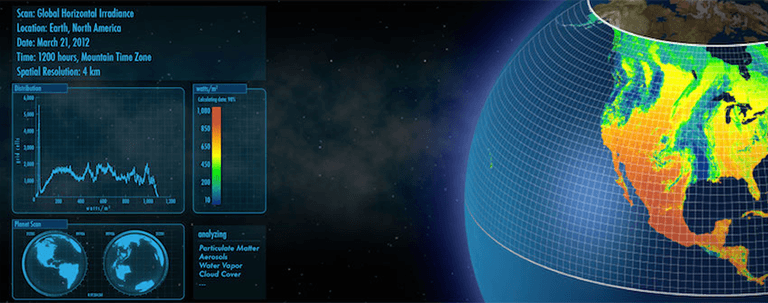
NLR researchers harness the power of geospatial data science to develop innovative energy applications and visualizations.

Since before the time of Google Maps, NLR has used the internet to allow stakeholders to view and interact with geospatial data. More recently, we have developed a robust framework called OpenCarto for building interactive geospatial web applications. The OpenCarto framework supports more than 20 actively developed tools and allows applications to leverage existing modules of code to implement shared features, data, and analysis tools. From the RE Atlas, which allows exploration of renewable resource data, to tailored applications such as RED-E India, a core capability of NLR's geospatial data science team is enabling others to do their own geospatial analysis.
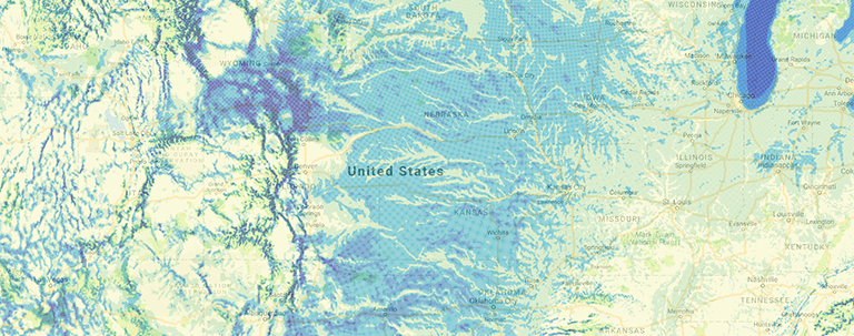
In addition, NLR geospatial data science uses a deep bench of cartography skills to build world-recognized resource maps. Throughout NLR and around the world, these maps drive understanding. For examples, see our collection of key maps.
Featured Analysis Products
Share
Last Updated Dec. 6, 2025


